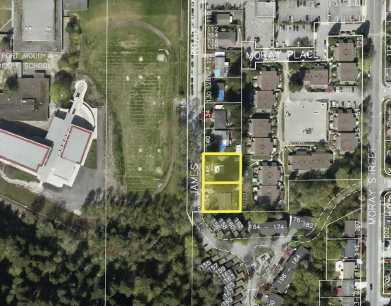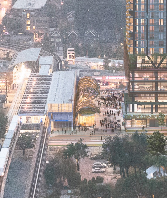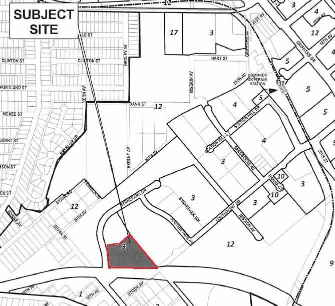
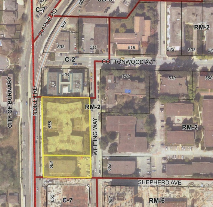
Townline Homes, in partnership with Quadreal, have submitted their application to the City of Coquitlam for the 1.6 acre site that they own at 675 North Road and 668 Whiting Way in the Burquitlam area. The site is located on the east side of North Road, and is bound by Whiting Way to the east, Shepherd Avenue to the south, and North Road to the west.
The site is currently improved with two older lowrise apartment buildings totaling 593 units. It is located in the Burquitlam-Lougheed Neighbourhood Plan and is designated Transit Village Commercial.
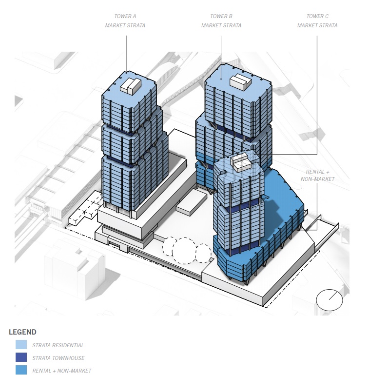
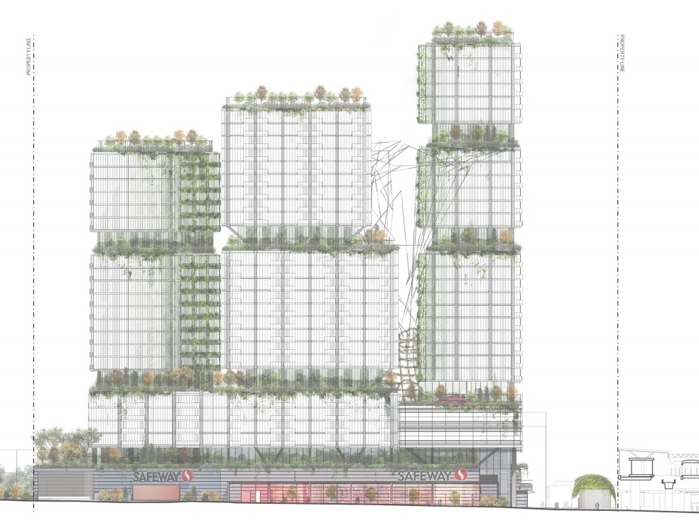
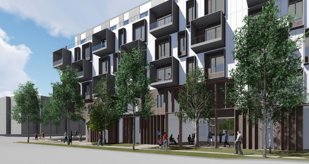
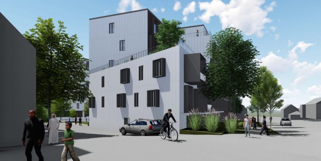
Detail of the proposal include:
- a 45-storey condo tower & 18-storey rental tower;
- 385 market condo units;
- 214 one-bedrooms, 119 two-bedrooms & 52 three-bedrooms;
- 154 rental units inclusive of 20 below-market rental units;
- 27 studios, 58 one-bedrooms, 35 two-bedrooms & 14 three-bedrooms;
- 17,700 SF of retail space (strata retail units);
- 665 parking spaces;
- 35,300 SF of common amenity space;
- tower heights of 470 ft. and 200 ft.;
- a total density of 6.0 FAR;
- a new east/west pedestrian connection;
- $16 Million in bonus density funds & $230,000 in CACs
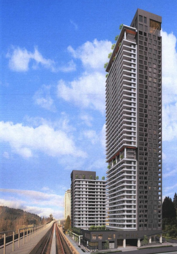
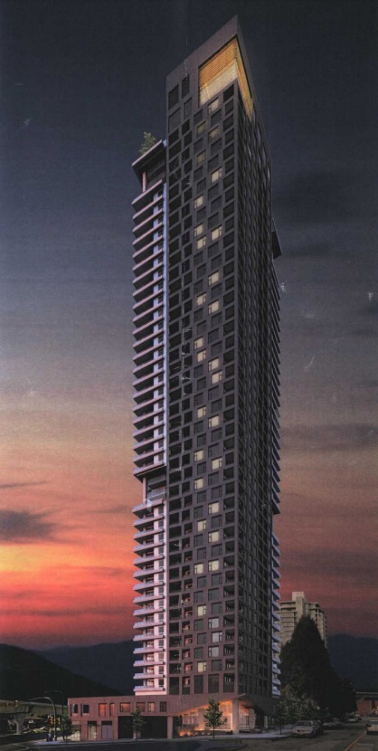
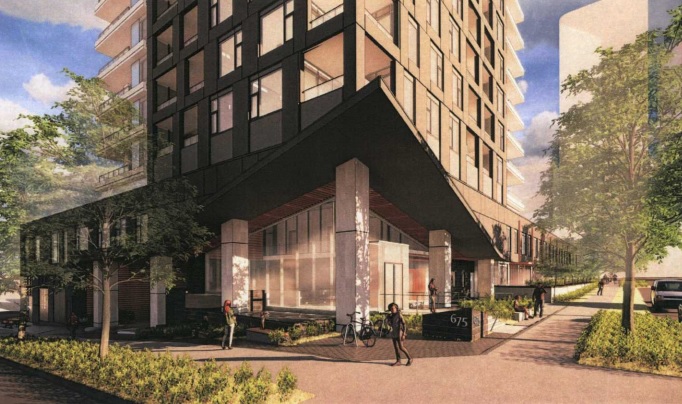
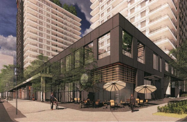
The architect for the project is Dialog.
The site sold in 2018 for $46,000,000, or $108 per gross buildable SF.